New tool maps how pollen travels through city air; Aiding allergy forecasts
A team of researchers from France and the U.S. has developed a computer tool that can predict how pollen moves through city streets once it’s released by trees, offering a potential boost for public health planning as allergy seasons grow longer.
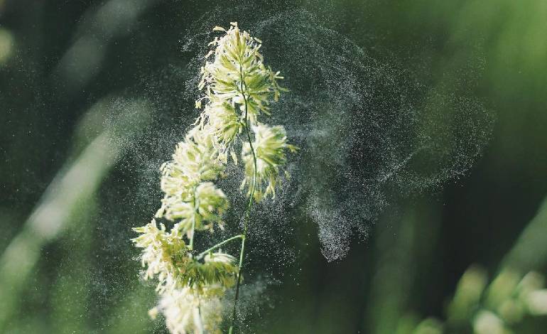
Published in Physics of Fluids, the study introduces a simulation method called DF-PIBM, or “direct-forcing porous immersed boundary method.” The approach models a tree like a sponge, with air flowing through its leaves and branches, then tracks individual pollen grains as the wind carries them through urban environments.
The research showed that a tree’s leaf density has a major effect on where pollen ends up. Denser canopies can trap more pollen near the source, while sparser trees allow grains to travel farther, influencing which neighborhoods face higher exposure.
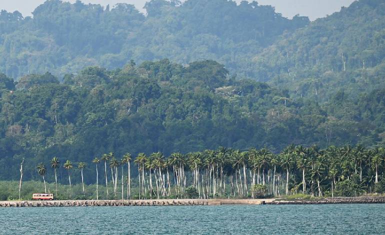
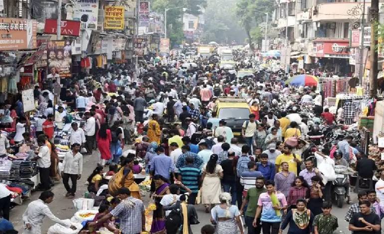
As climate change extends the pollen season and cities plant more trees to provide shade and cool streets, understanding these patterns is becoming a public health concern. Millions of people each spring contend with sneezing, itchy eyes, and respiratory issues triggered by airborne pollen.
By mapping pollen pathways block by block, the new tool could help municipalities make smarter decisions about urban forestry, choose lower-impact tree species for certain areas, and improve local allergy forecasts. Researchers say the model may also support targeted alerts for residents who are most vulnerable during peak pollen days.